Spatial and data services support Hydro Tasmania initiatives

Client: Hydro Tasmania
Location: Tasmania, Australia
Date: 2017 - ongoing
Using spatial tools and data to progress pumped hydro storage in Tasmania
Background
Tasmania is well positioned to play a greater role in the National Electricity Market as the renewable energy transition accelerates. Enabled by the potential for increased interconnection into Australia’s National Electricity Market, Hydro Tasmania is exploring opportunities to develop new pumped hydro storage infrastructure and optimise existing hydropower assets to harness untapped hydropower potential.
These initiatives bring together a multitude of internal and external stakeholders, including governments, communities and local land-owners, which creates a need for clear and effective methods to communicate and build understanding. The projects also require modelling and survey data to understand topography and to inform designs that minimise the visual impacts of proposed infrastructure.
Solution
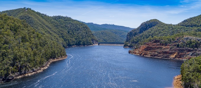
Entura’s Spatial and Data Services Team has been involved in with these initiatives since 2017. The team initially created a pumped hydro atlas tool to identify potential pumped hydro storage sites in Tasmania that met certain criteria, including being located outside protected areas, close to existing storages, off-river and in suitable terrain. Fourteen potential pumped hydro storage sites were then narrowed down to 3 using multicriteria analysis, with Cethana ultimately selected as the preferred site.
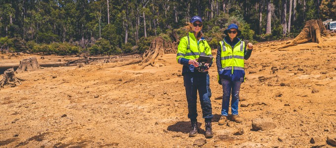
The team used spatial tools and data to assist with prefeasibility and feasibility studies. From early in the design phase, the team used viewshed analysis, line-of-sight analysis and scenic-quality assessments to assess potential visual impacts and determine locations of least social and environmental impact. LiDAR data was used to perform viewshed analysis of worst-case scenarios (visibility without vegetation) as well as more realistic settings.
Other spatial technologies such as scenic quality, 3D models, photo-montages, images, laser-scanned data, orthoimagery and survey control were also used to perform visual analyses and communicate rapidly with internal stakeholders to prevent project delays. Incorporating laser-scanned data into a 3D model allowed the team to build realistic pictures of potential impacts without developing full montages, enabling faster, cost-effective dissemination of information. This streamlined approach was crucial for analysing the landscape impacts of iterative project designs.
These tools were also used to communicate potential visual impacts to external stakeholders, including the local community, business owners and land-owners. The team produced a range of high-quality representations of the data, using static maps, map-based graphics and infographics, interactive maps, 3D visualisations and graphic design.
Services provided
- LiDAR and drone surveys
- Line-of-sight mapping
- Viewshed analysis
- Photo montages
- Spatial data management
- Webmap & field solutions
- 3D models, maps and fly throughs
- Cartographic maps
Outcome
Spatial tools, methodology and data played a valuable role in the project’s feasibility studies, aiding infrastructure designs and facilitating effective communication of project designs and potential impacts with internal and external stakeholders.
The depth of information gathered by the team was applied to inform local affected communities and other key stakeholders, helping them understand how visual impacts on the surrounding landscapes, tourist routes and other sites of concern had been considered and minimised.
The team’s data also informed the project’s technical design, enabling the design team to select appropriate materials and colours for assets and infrastructure that would minimise visual impact while optimising efficiency.
Extensive visual impact assessments have supported the progress of this significant project for Tasmania. The technical feasibility study is now complete, confirming the project’s technical feasibility. It is now well-positioned for the next stage, the timing of which will be aligned to the second Marinus Link cable development pathway.


